In-house service
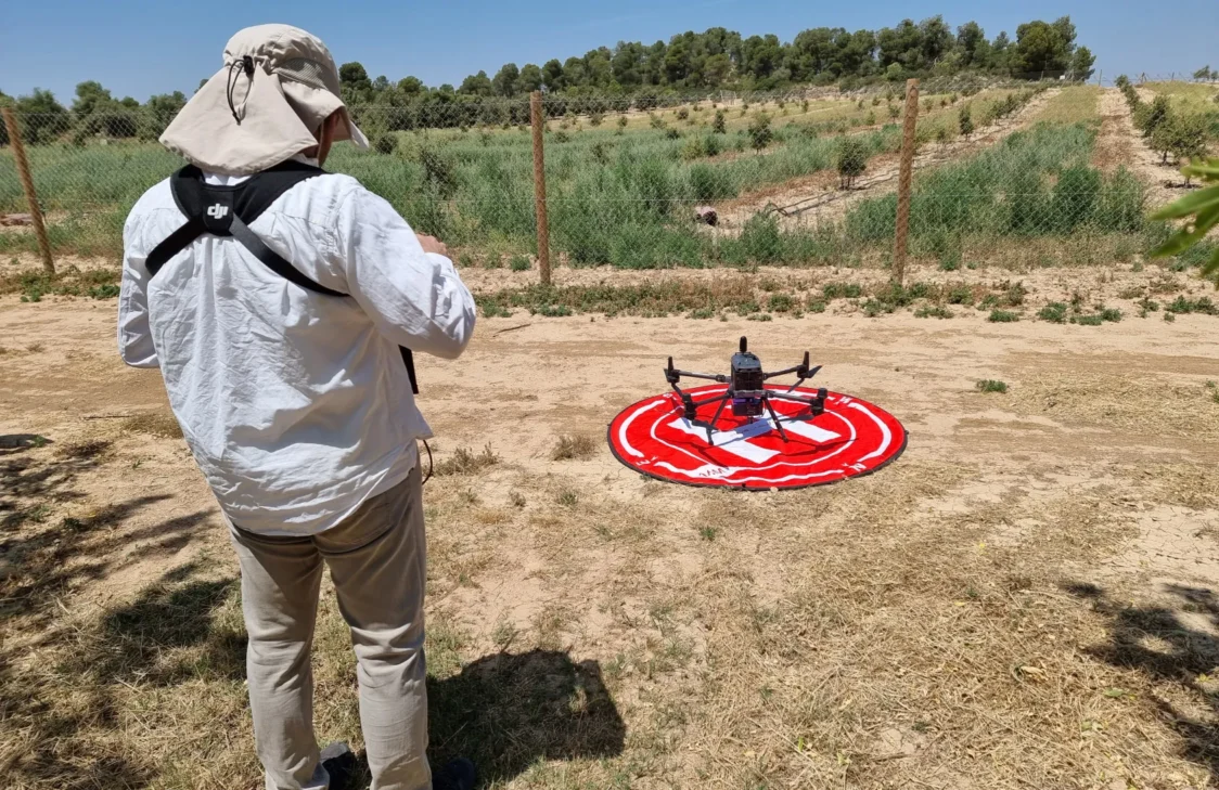
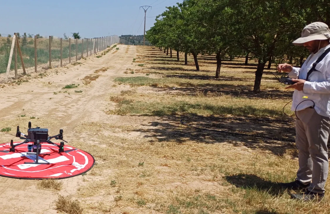
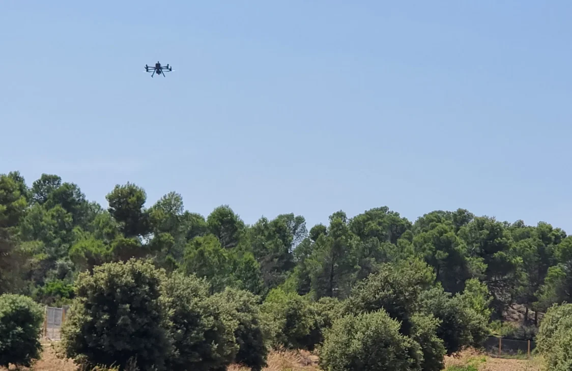
Drone-Based Remote Sensing Service
Joint scientific and technical service provided by Agrotecnio and the Forest Science and Technology Centre of Catalonia, based on advanced infrastructure equipped with VNIR hyperspectral sensors, LiDAR and a high-resolution RGB camera for precision agriculture, forest management and environmental monitoring.
Contact and bookings
drons.ctfc.catWhat We Offer
Acquisition and analysis of high-precision aerial data for:
- Agriculture and forestry
- Environment
- Research and innovation
Applications
- Crop monitoring
- Forest inventory
- Water stress and plant health assessment
- 3D terrain modelling
- Environmental monitoring