- Agrotecnio, the Universitat of Lleida and the company Aistech Space collaborate to estimate vegetation fuel moisture in real time
Observing forests from space may become an essential tool for preventing wildfires. The research centre Agrotecnio, the University of Lleida (UdL), and the company
Aistech Space, specialised in space technology, are collaborating on a project to develop a model capable of estimating vegetation fuel moisture in real time from thermal satellite images. The collaboration was presented this Thursday in a new edition of
Breakfast4Inno, the innovation meetings organised by Agrotecnio and the Lleida Agrobiotech Park.
One of the factors that most influences the spread and intensity of wildfires is fuel moisture, both live (shrubs, grasses, tree canopies) and dead (litter and fine particles). When this level decreases, fire risk increases significantly.
This parameter is obtained through point-based field measurements and meteorological models with limited coverage. The combination of the physical models developed by Agrotecnio–UdL with Aistech Space’s satellite technology will make it possible to generate daily fuel moisture maps with almost instantaneous updating.
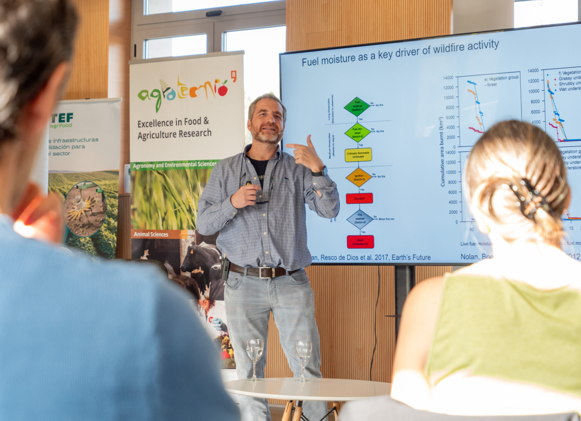
The Forest Production group at Agrotecnio – UdL has been working on moisture maps for more than a decade. As Víctor Resco de Dios, UdL professor and researcher of Agrotecnio’s Forest Production group, explains: “With this collaboration we are taking an important step towards the operational prediction of wildfire risk. Thermal data from satellites allow us to estimate landscape dryness practically in real time and improve preventive management.”
During past summers, the team carried out a field campaign in Catalonia, taking images from the MODIS satellite (with a resolution of 1 km) in Tuixent, Poblet, Maials, and Lladurs to calibrate the models, combining them with ground measurements and drone images with thermal cameras. The project is currently in the data analysis phase, and the results will be made public soon.
Starting in January 2026, the company Aistech Space will contribute its own constellation of nanosatellites to the project. Its space-borne thermal cameras are capable of capturing temperature variations both on land and at sea. They can acquire data every day anywhere on the Earth’s surface and deliver it to the client in under an hour.
“Thermal imagery allows us to see what other sensors cannot capture,” notes Josep Pino, CTO of Aistech Space. “Turning this knowledge into an operational product can help predict and prevent wildfires, reducing uncertainty and gaining response time.”
The ultimate goal is for this technology to be integrated into European observation and alert platforms, contributing to improved prevention and response to wildfires, which affect thousands of hectares in Europe every year in a context of climate change and increasing drought.